What is Arlington County’s Bicycle Comfort Level Map?
Considering exploring Arlington County on two wheels? Whether you’re a daily commuter, a weekend warrior, or a cycling newcomer, our Bicycle Comfort Level Map is designed with you in mind. We’ve numerically scored Arlington bicycle routes and trails based on key factors like pavement condition, traffic volume, land use, slope, and availability of bicycle infrastructure.
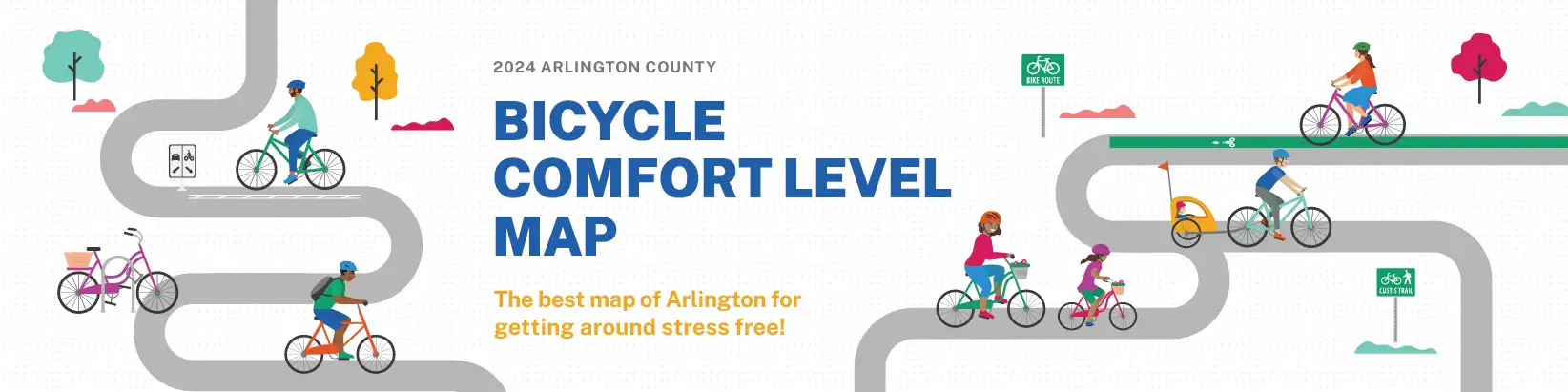
2024 Bicycle Comfort Level Map
This map is your guide to the least stressful or most comfortable routes to get around Arlington by bike. Instead of just showing bike trails, bike lanes, and sharrows, it uses a data-driven rating system to rate bicycling comfort on roads and trails based on a variety of factors.
Mapping Comfort
Whether you’re cycling through quiet neighborhoods or bustling mixed-use areas, our map assists Arlington cyclists of all experience levels in finding comfortable routes. We use a comprehensive composite score based on the Bicycle Comfort Index (BCI), drawing from methodologies like the Mineta Transportation Institute’s Level of Traffic Stress and the San Francisco Municipal Transportation Agency’s Bike Comfort Index. By analyzing data such as the Pavement Condition Index (PCI), reported behavioral violations, Level of Traffic Stress (LTS), and types of bicycle facilities from Arlington County’s Geographic Information System (GIS), we assess each route segment using Context, Traffic, and Bicycle Infrastructure sub-scores. These metrics culminate in a composite score that categorizes routes as “Most Comfortable,” “Comfortable,” “Less Comfortable,” or “Not Recommended.”
The Data
Curious about how we crafted this cyclist-centric map? Our methodology is based on an innovative scoring process that is data-driven. Specific inputs such as typical traffic conditions, observed speeds, number of travel lanes, and slope percentages play a pivotal role in determining each route’s comfort level. Want to learn how we’re making every ride safer and more enjoyable?
- To view the detailed, zoomable GIS comfort map, click here.
- To view a StoryMap of the Bicycle Comfort Level Map, click here.
- To view a grayscale version of this map for people with colorblindness, click here.
- To view a detailed explanation of how we created this map, click here.